Exploring the Victorian Government’s draft maps for higher-density in 25 Melbourne suburbs through our lens as architects.
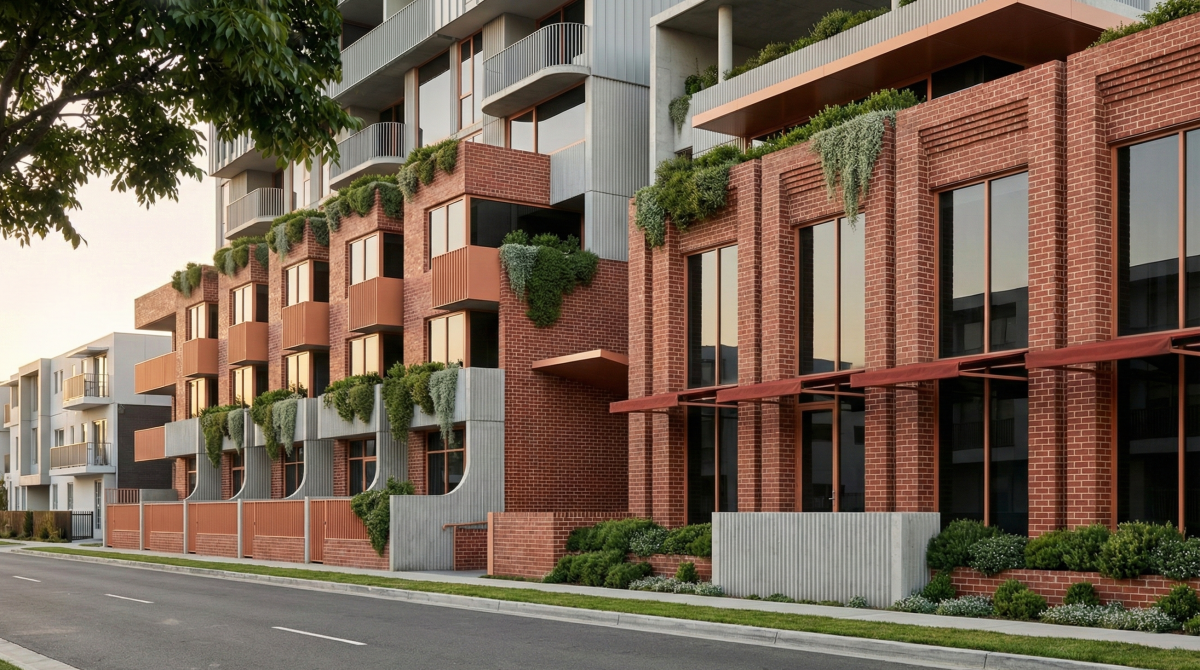
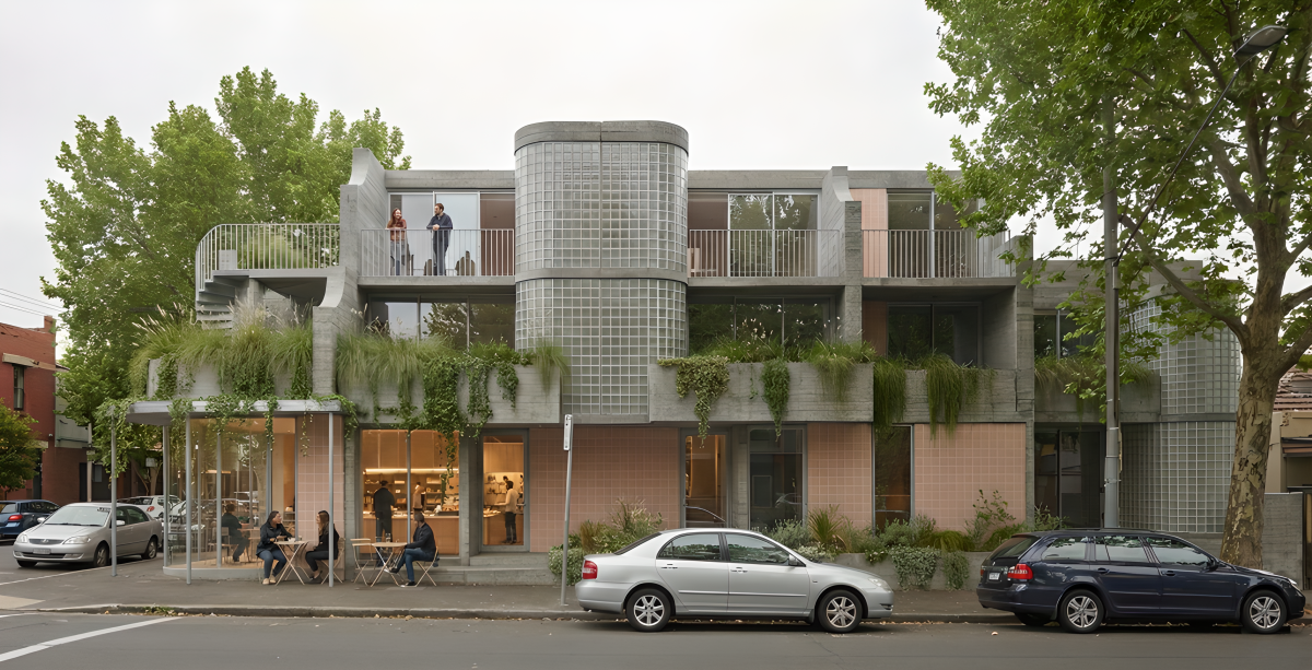
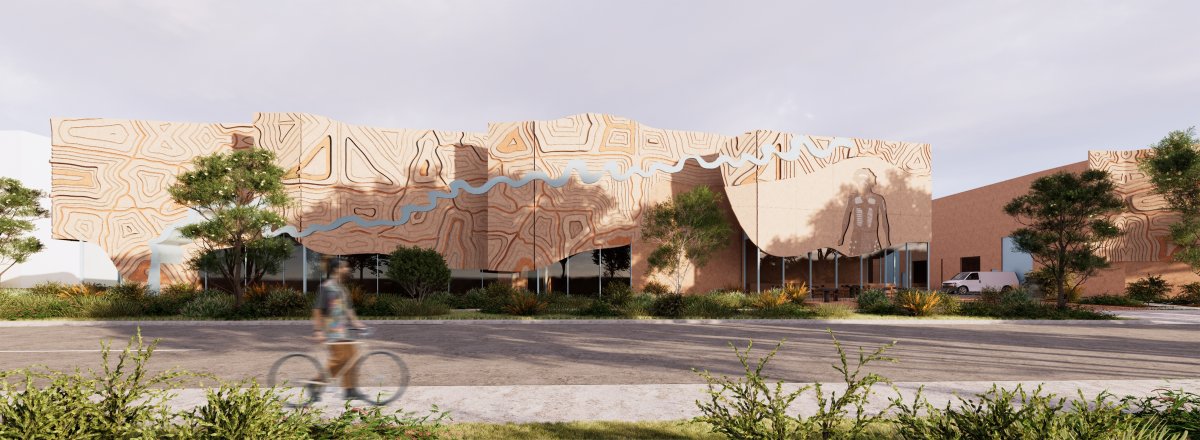
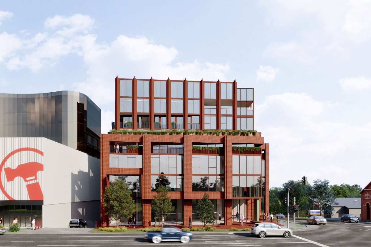
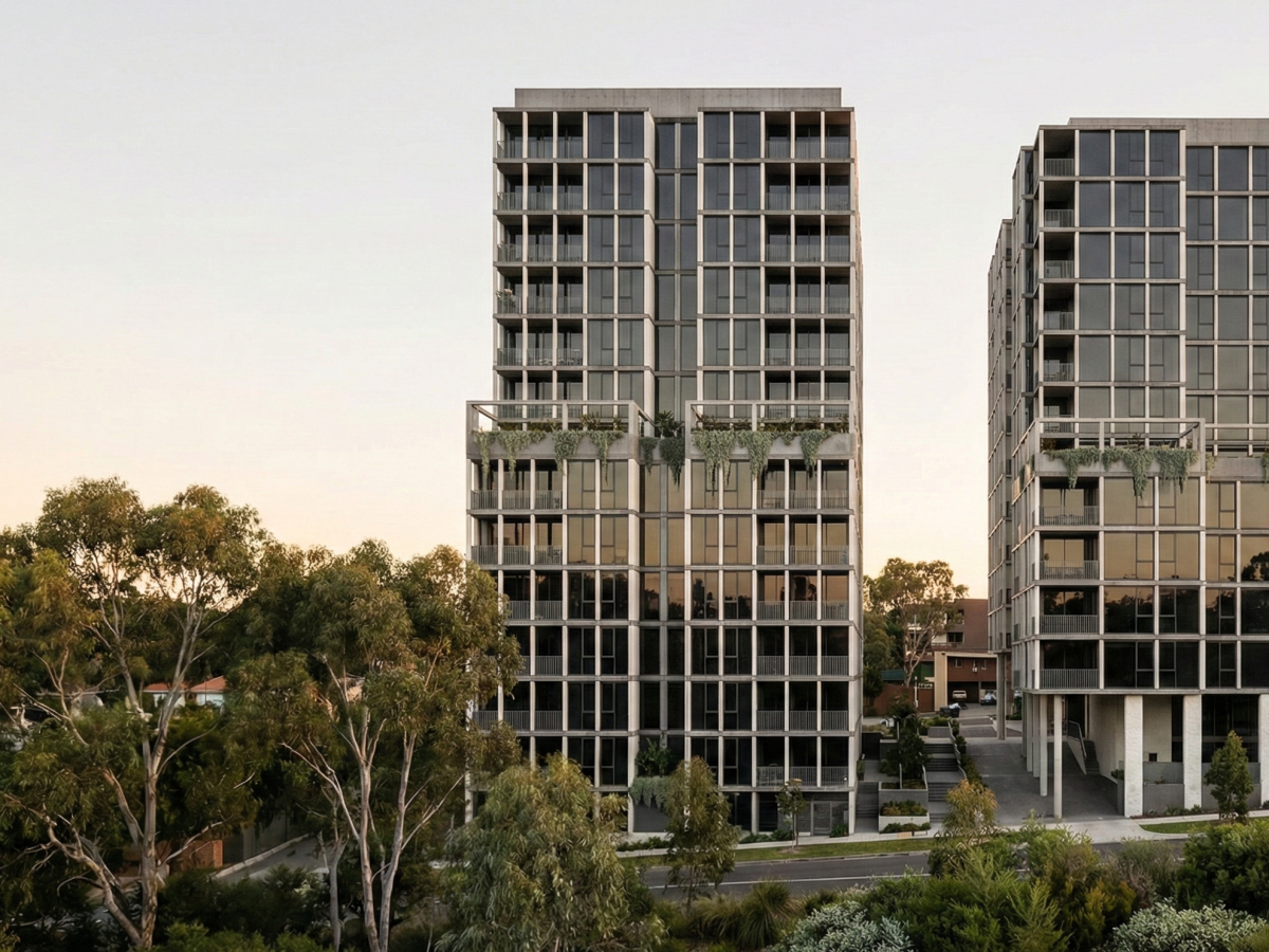
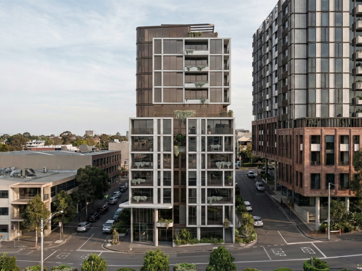
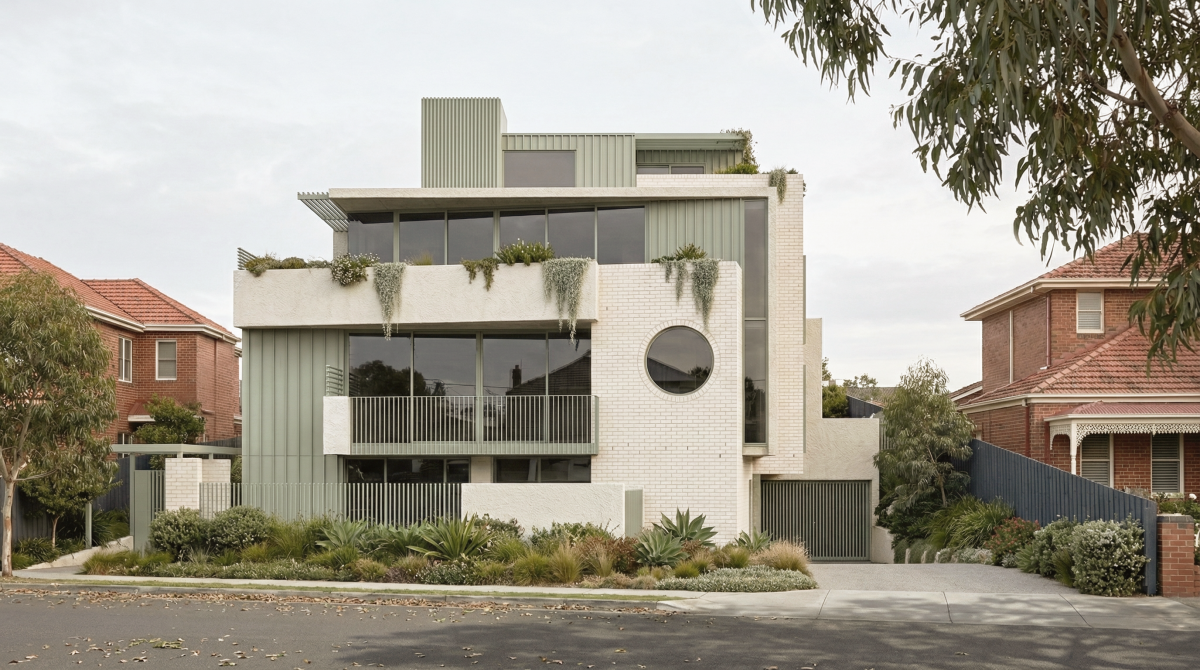
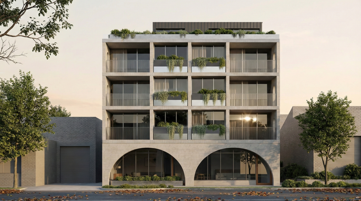
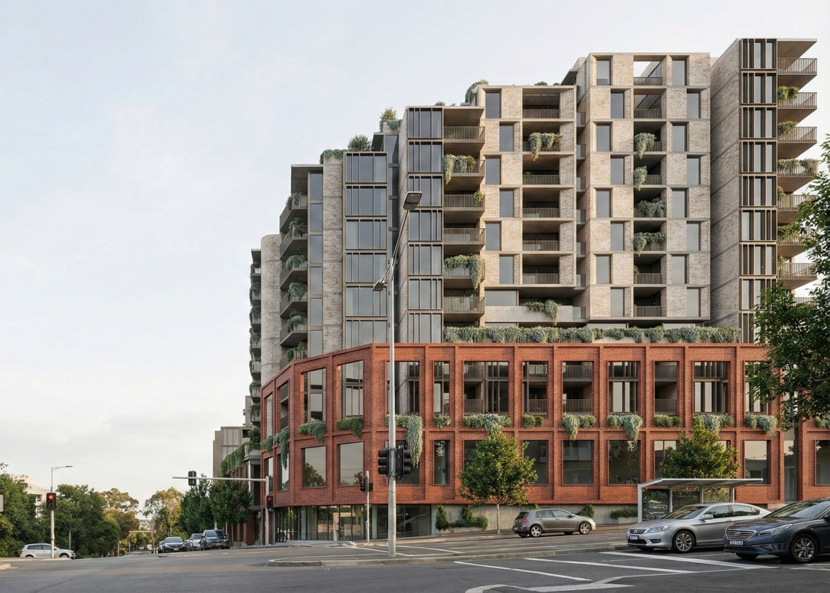
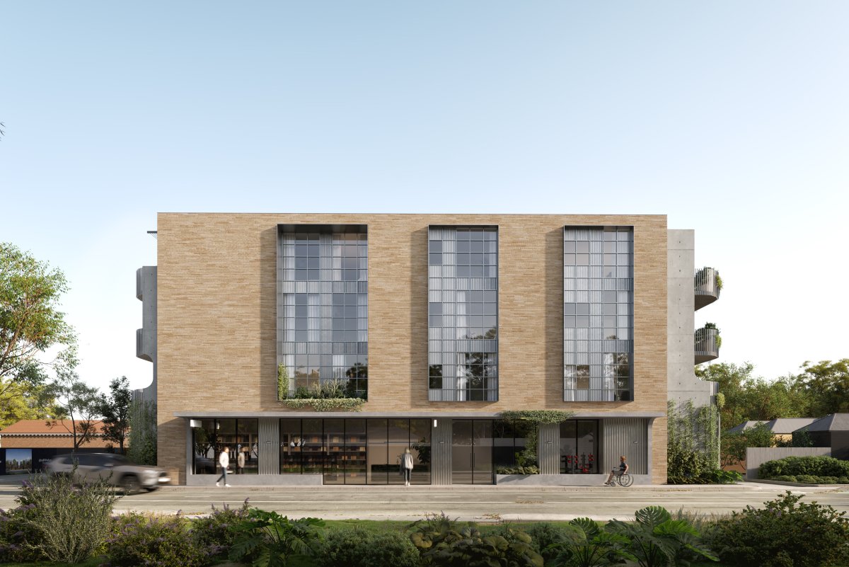
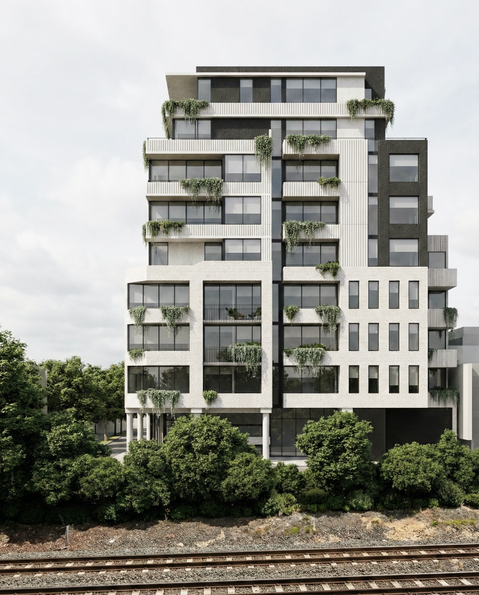
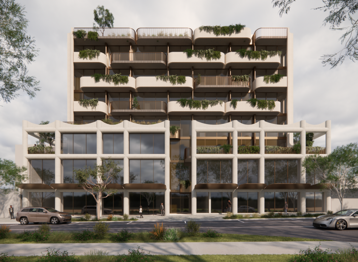
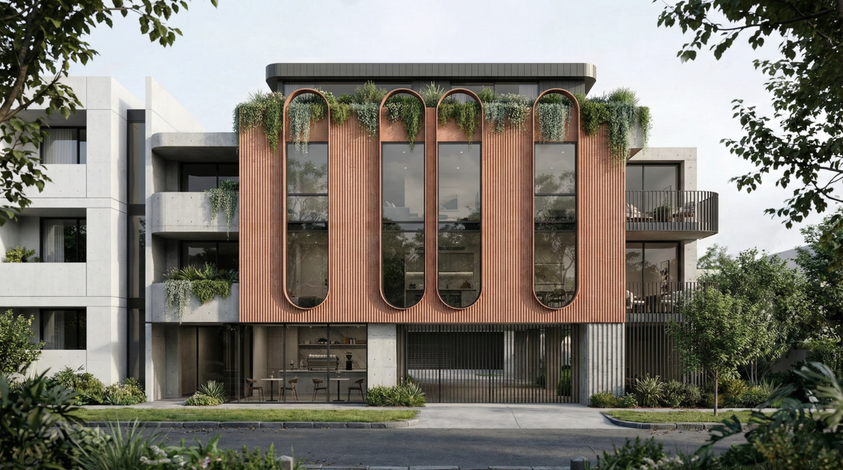
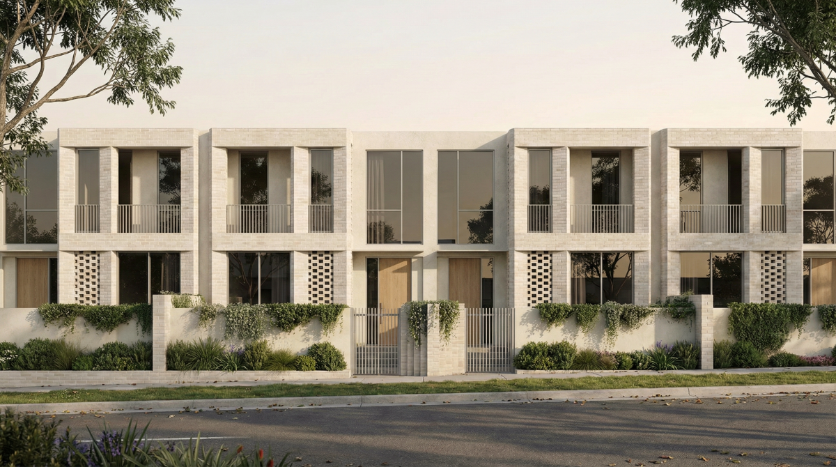
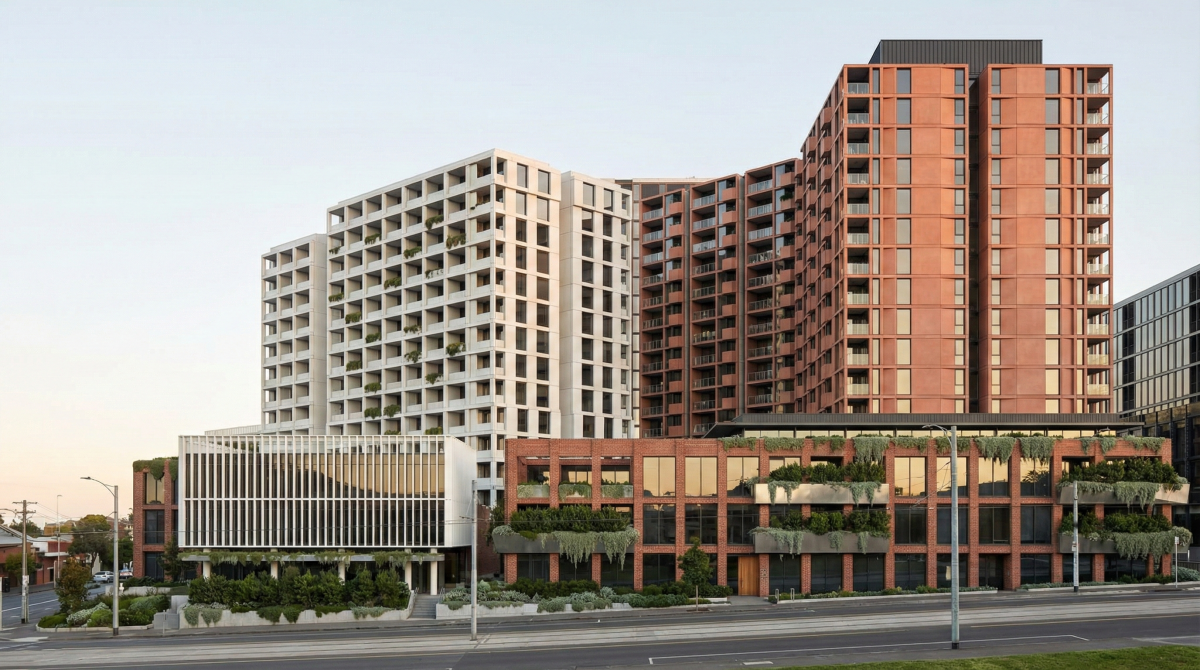
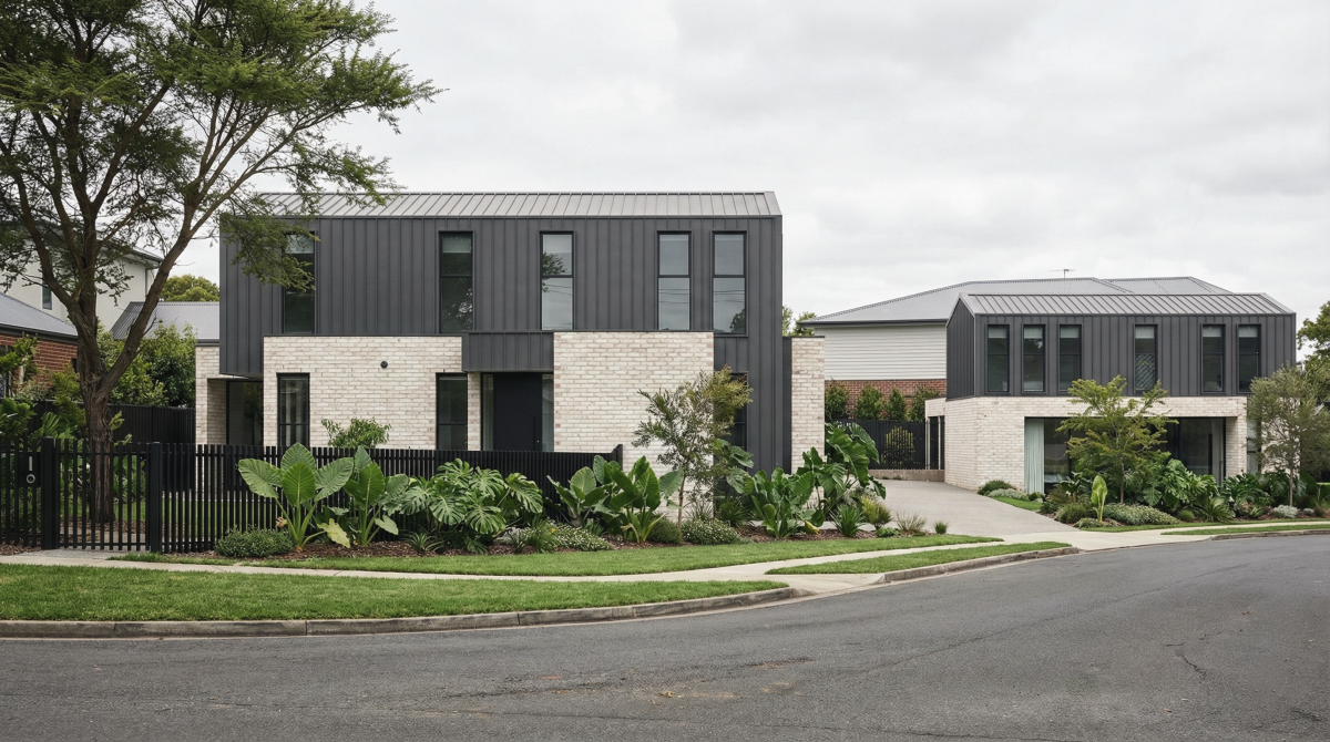
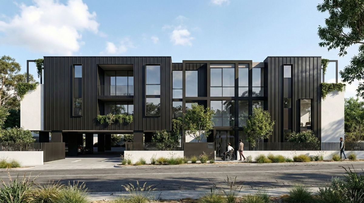
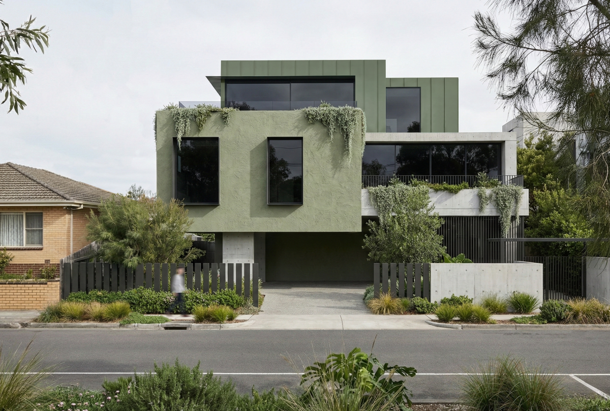
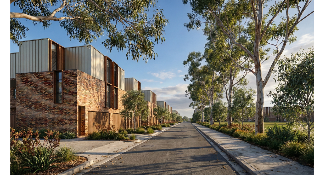
The Victorian Government has unveiled draft maps for 25 Melbourne suburbs, outlining building heights and density targets as part of its plan to deliver 300,000 new homes by 2051. These changes focus on activity centres near train stations and tram zones, shifting a level of planning control from local councils to the state government. The aim is to fast-track development and provide a streamlined approval process for property owners.
The government explains that this is a step towards improving housing affordability, better access to jobs and transport, and more straightforward planning. However, the plan also raises questions about neighbourhood character, infrastructure, and the future of Melbourne’s streetscapes.
Key Points
What should buyers, homeowners, and developers look for now?

Our View as Architects
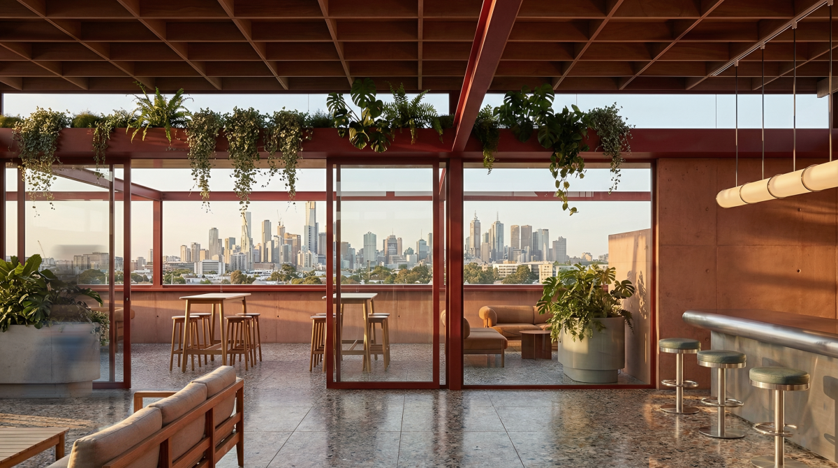
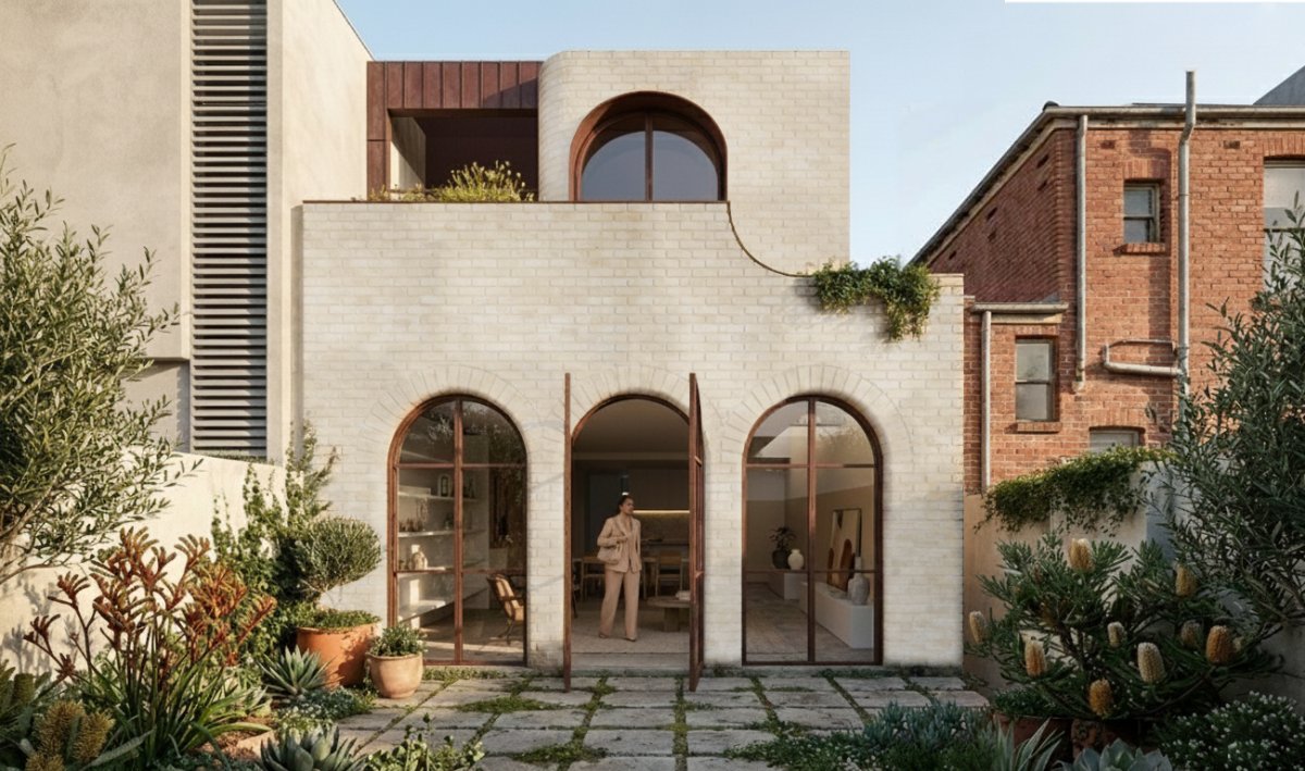
We see this as a necessary recalibration of our planning system. However, consultation, design quality, and infrastructure investment will play a key role in ensuring heritage overlays and neighbourhood character are not sacrificed in the process.
Let’s make sure the conversation isn’t just about height and density, but about access, equity, and a better future for Melbourne, where these activity centres evolve into vibrant hubs with landscape, design, and liability at the forefront.
See if your suburb is going to change through the zoning maps by the Victorian State Government linked here
At SGKS ARCH, we can guide you through these changes and connect you with the right bodies to address any opportunities or challenges. If you would like more information or have sites in these areas, feel free to get in touch at studio@sgksarch.com
(Map source: The Guardian)